Warning! Photo heavy post ahead. Before you start this post let me warn you ahead of time that it may take you as long to read as it did for us to take this hike (4.5 hours).
Last week Rick took a few days off and rather than go to Andy’s lake cabin as we had planned, the weather was so glorious we decided to stay home and do things around here. One of those things was to take a hike. We used to be great hikers and back country campers, loading all our goods needed to survive for three days on our backs. It’s been some years since we’ve done any serious hiking. Mostly just around the cabin (which can be pretty strenuous at that altitude.) But nothing much since we’ve lived here.
Rick picked a hike from our book Hiking the Jersey Highlands that was a “lollipop” loop around two lakes (Surprise Lake and West Pond). Lollipop meaning you hiked up the stick part, looped around the lollipop and rejoined the original trail again. It was stated as being 4.1 miles. Don’t you think that’s kind of a long hike for us since we haven’t worked up to it?, I asked Rick. Nah, not a problem he replied.
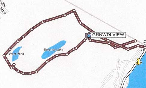
Here is an image of what our GPS recorded on our hike so you can get an idea of where we’re headed.
I should have read the trail description myself before we left. Truly, I really should have. But I didn’t. I should have.
Most of the trails I’ve hiked in the past have been well maintained and easy to follow. What’s to mark? You just follow the path, right? So at first I thought their way of marking a trail was quaint: painted on a tree. A few walking sticks were left leaning against the tree for anyone’s use.
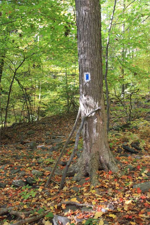
Follow the little blue (and white) blazes ... follow the little blue (and white) blazes ... I hummed to myself to the tune of follow the yellow brick road.
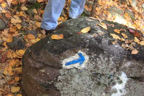
or arrows. Whatever.
The trail at first was hard to see as it wound its way through a mostly flat forest bed and we missed a few blazes. Probably because there we so many leaves on the ground obscuring what might exist of a path. Soon after the path became quite steep and stayed that way for a while. Well, I knew we had to get to the top of Bearfort Mountain somehow so I was expecting plenty of “up.”

The trees on the way up were putting on quite a show. I had plenty of time to stop and admire them as I let my seized-up calves relax again.
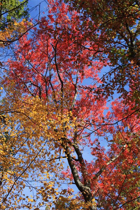
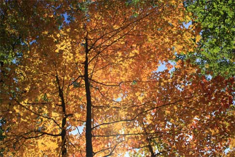
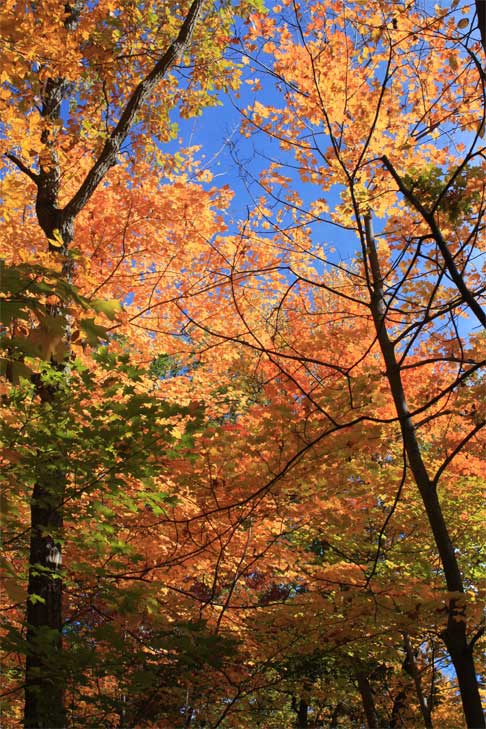
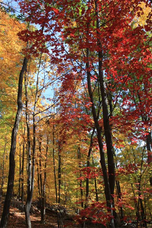
Needless to say, it was a gorgeous day for a hike. The temperature was in the high 60’s, the humidity low, the sky blue.
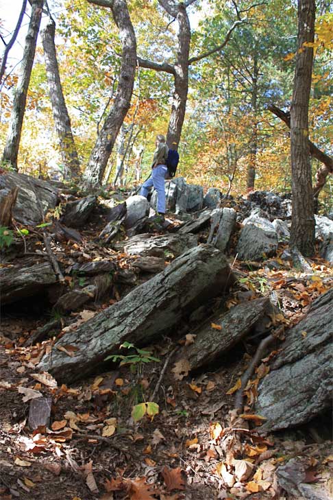
The trail got rockier as we went.

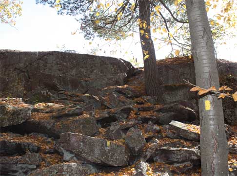
I swear, I may have lived and hiked in the Rocky Mountains for a good number of years but I have never seen so much rock. We went up and over this one. It would not be the last. Oh no. Not the last.
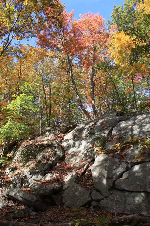
Scrambled up this one. I’m coming, honey! We changed trails and were now following yellow blazes. If you look closely you can see them on the trees. Yup, that’s the trail.

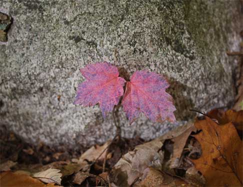
Love the color of these leaves!
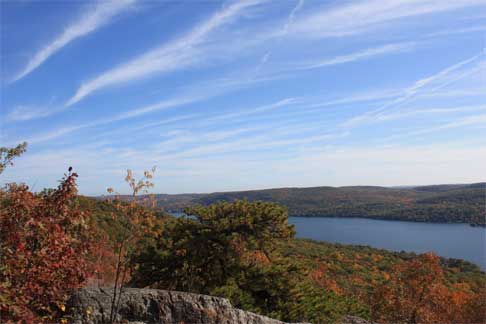
Soon we were at Lookout Rock with gorgeous views over Greenwood Lake. We had started the trail at an elevation 680 feet and were now at 1,220 feet. We stopped to take it all in.
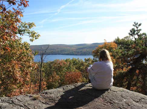
The guidebook calls this type of rock formation “puddingstone.” Whatever you call it, the trail went right along the top of it. I’d never been on a completely rock trail before!
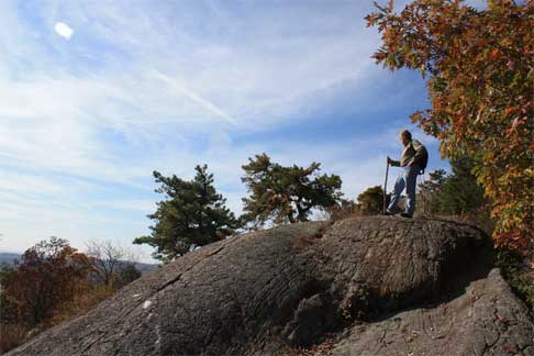
Looking back down the trail we just came up ...
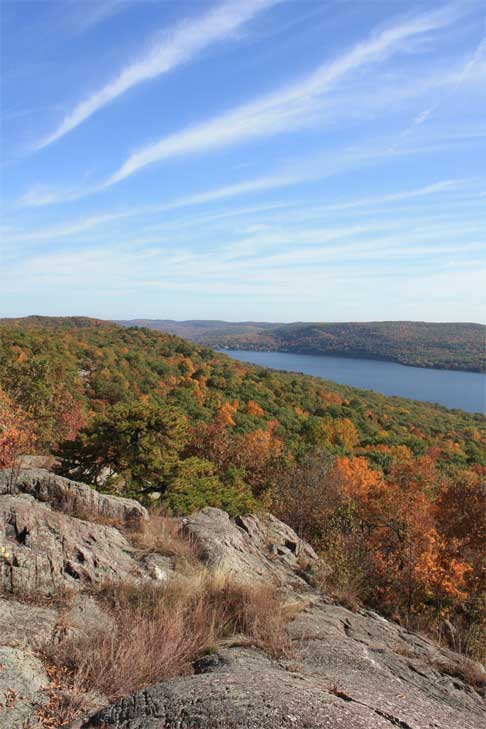
and looking up in the direction we are going!
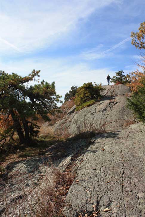
Another view out over Greenwood Lake. Our house is somewhere to the left at the end of the lake.
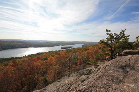
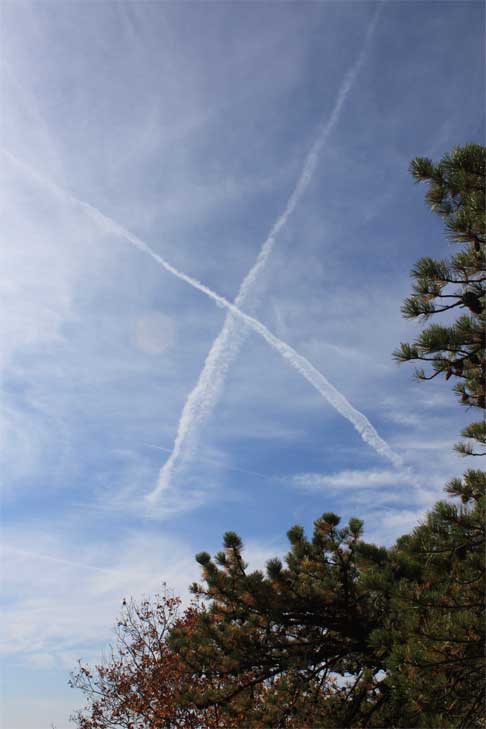
This part of the trail was easy going. What came next was not.
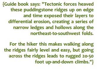
Amen.
This next bit was the most grueling part of the hike. We went up one rock ridge only to come back down the other side, then through a hollow at the bottom. Repeat about 7 or 8 times. Sorry no time to take photos. Too busy concentrating on getting up and over.
We did come to an interesting ridge (which thankfully we did not have to manoeuver over or around) where the rocks were standing on edge. We think the pieces had broken off from the larger rock and over the centuries had fallen. Just like someone had sliced it into pieces. Fascinating.
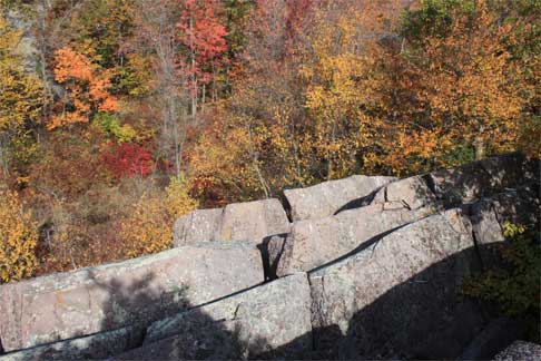
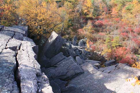
Wild blueberry bushes turning red made a great frame for this tree.
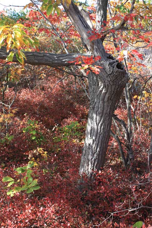
Finally we reached Surprise Lake at 1.2 miles in. Surprise Lake is a deep glacial pond almost a half-mile long. Still too early for lunch, we pressed on.
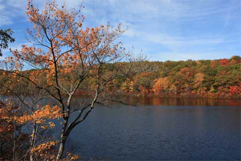
The terrain changed quite a bit after we left Surprise Lake. Gone were the up-and-down rock ridge climbs for awhile. Good thing too. My legs and arms could stand a break. We started to see lots of rhododendrons lining the trail, something that seems odd and out of place to me in a forest. They seem too exotic somehow.

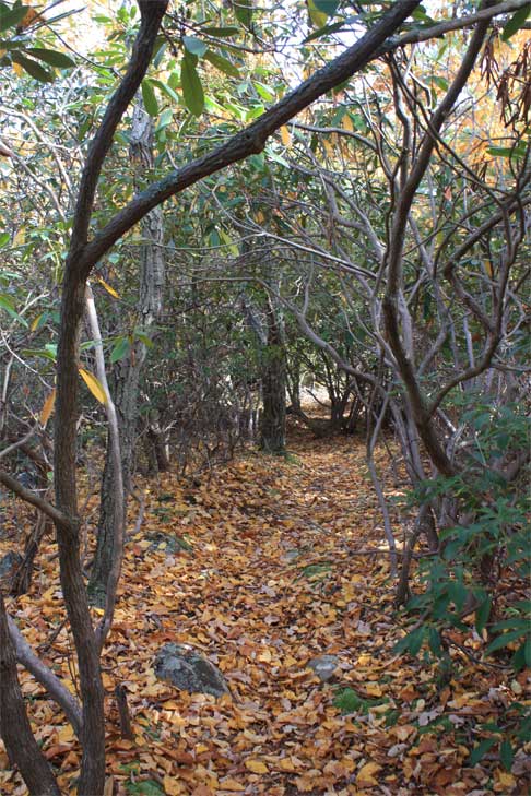
It was like walking through something from a fairy tale with all those twisted interlocking branches. I kept expecting to meet Hansel and Gretel along the way. Creepy.
The trail, though relatively flat, was very rocky so you had to watch your footing at all times. This is not the place to twist your ankle, trust me.
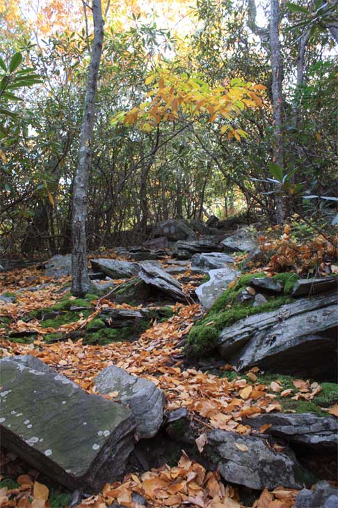
It then became very mossy. Moss grew in great hummocky clumps on rocks, along the path and around the bases of trees.
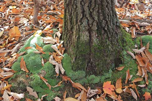
This rock was completely moss covered and I had all I could do not to let myself lie down upon it and take a nap. The moss was so thick! It reminded me of a golf course with its spots of different shades of green.
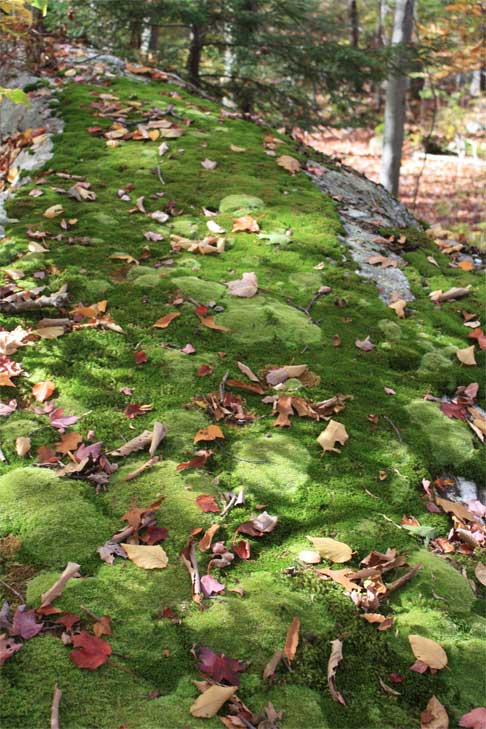
Then again, maybe the chipmunks and squirrels play golf with acorns as balls?
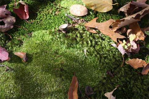
Really, the scenery was spectacular when one wasn’t busy scrambling up and down huge rocks.
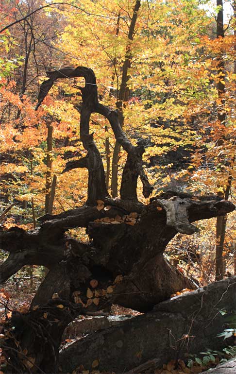
Oh dear. I spoke too soon. One last slide/scramble down this part of the path. See the yellow blazes?
Whew. At long last we reached our lunch spot. We took the path to the overlook and sat down to enjoy lunch. I give you West Pond! (and Picnic Muffuleta sandwiches.)
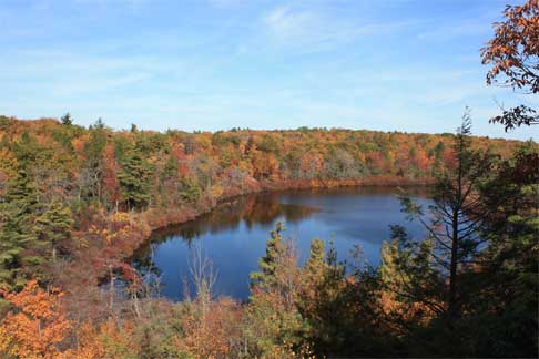
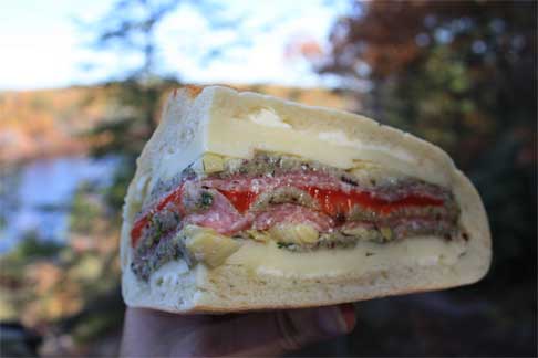
After lunch we continued on our way, refreshed and somewhat rested. Good thing because just after the lookout and back on the main trail we had to tackle a very difficult descent.

They were not kidding.
Back up again. Still on the trail according to that blasted blaze in the middle of this rock.
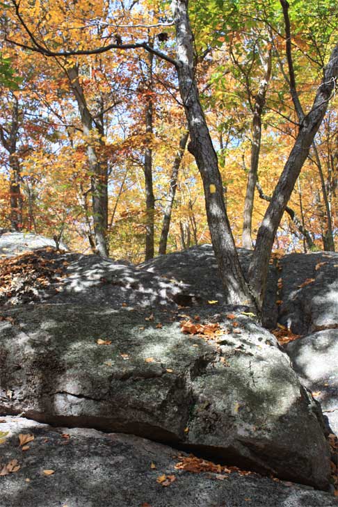
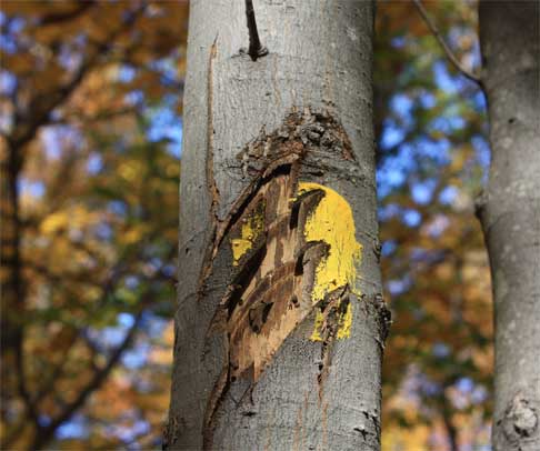
We were quite amused by this blaze. It would seem a bear was trying to erase the blaze in hopes that some newbie to the trail (that would be us) would lose their way and be likely prey. Very sneaky. But it didn’t quite work.
Still with me? Don’t give up yet, we’re getting closer and closer to our goal. Can’t say I blame you if you bail out now. I wanted to at this point. Just send a helicopter in after me thank you very much. Revisit the map at the beginning of this entry (if you can find it that far back) and track our progress.
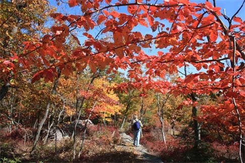
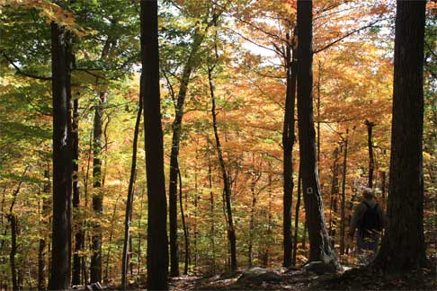
Rick was always out front as I tended to lag behind to take photos such as this. Sorry for all the backside shots, dear!
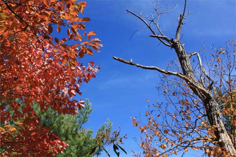
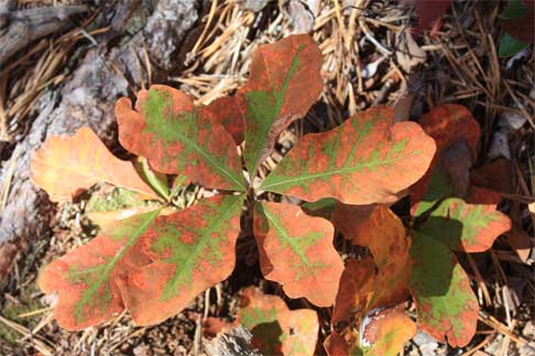
oops. Looks like they want us to turn here, wouldn’t you agree?
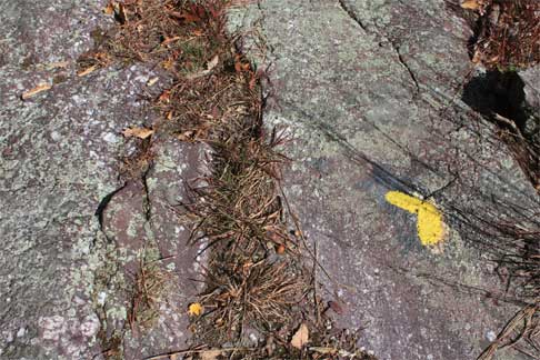
This was along an easier part of the trail. We went from walking on rock ridges to walking alongside them through very different vegetation than we had been. Scraggy pines were now added into the mix of hardwoods.
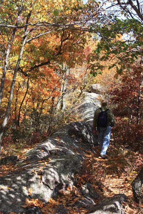
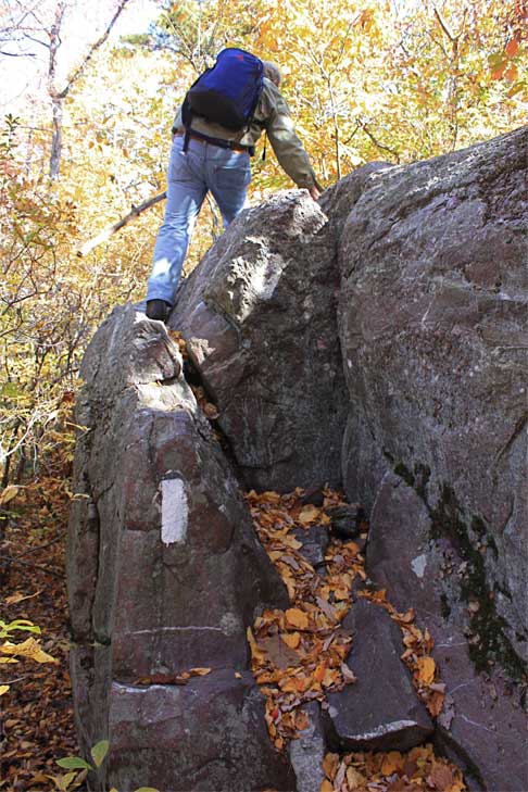
Finally we joined the Appalachian Trail for a short while. Now we were following white blazes. Did you guess we’d be rock climbing again? Just where is that helicopter I ordered, hmm? At the 2.5 mile marker we’ve now reached the highest elevation of our hike, 1,410 feet.
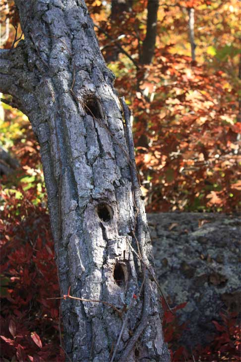
This condo for birds had some space for rent.
We also came across this sign hanging on a twig.
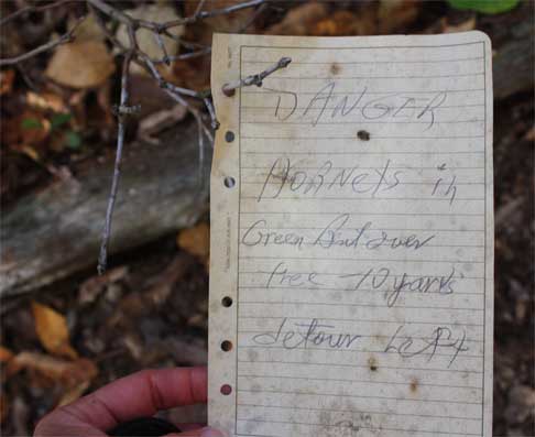
Thankfully the residents had vacated the nest before we arrived and we had no close encounters with the hornets.
At this point we could see other mountains in the distance. (You’ll need to look closely at the faint blue shadow just above the forested hill.) It felt really cool to be standing on part of the Appalachian Trail. Although I was tired and my legs ached, I was so glad to be here in this moment.
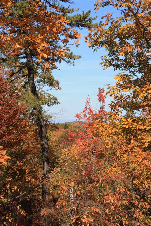
Soon we rejoined the main trail again and were once again following the blue blazes.
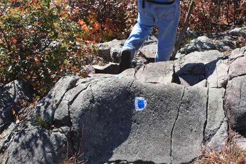
It was pretty much all down from here which should really be easy except for the fact that our legs were really tired. Going downhill with shaky legs on slippery rocks is nearly as bad as going up. We soon reached the forest floor again and with that our hike was over.
After we got home I looked up the summary of the trail.
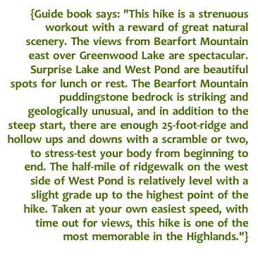
I couldn’t have summed it up better myself. If I had read this first I think I would have been hesitant to attempt it. Would we do it again? Absolutely! It was unlike any trail I’ve ever been on. Now we can’t wait to go in the spring when the rhododendrons are blooming! Imagine how beautiful that must be!
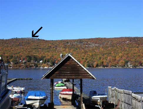
I took this photo afterwards from across the lake. The arrow shows the ridge where we were when we had the view of Greenwood Lake.
I hope you enjoyed our hike as much as we did. Thanks for joining us!
Posted by Lynne on 10/28/2008 at 06:57 AM
Filed under:
Daily Life •
My thoughts •
Life in New Jersey •
Mushrooms •
Weather •
Trees, flowers
Next entry: Blaze
Previous entry: Plastered: and this, that, and the other odd thing
