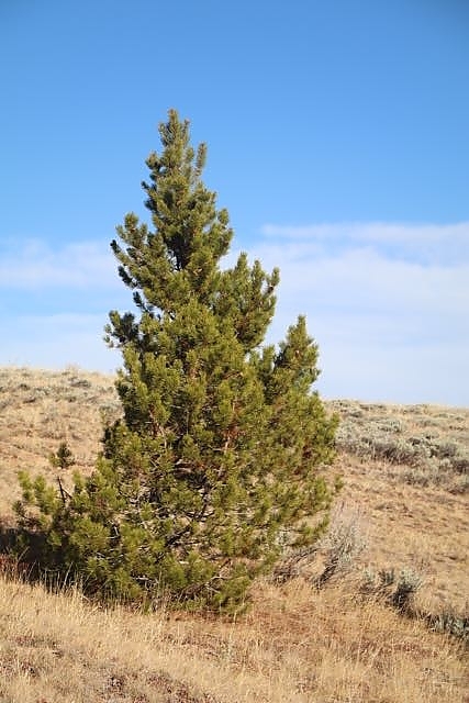
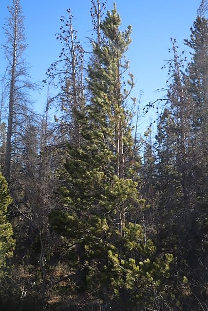
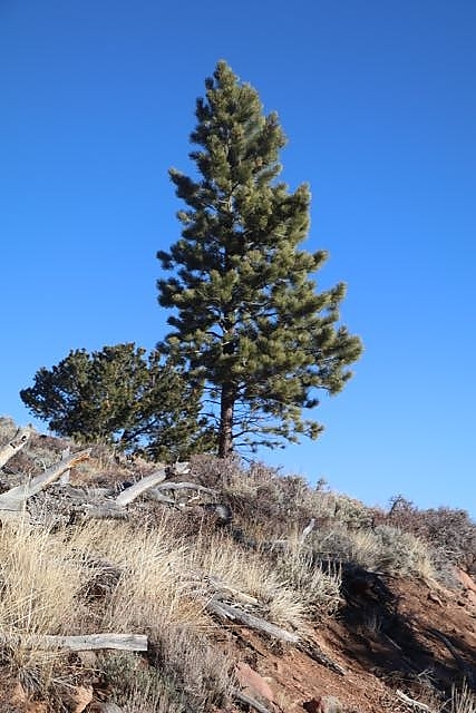
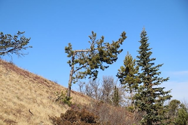
The shape of trees has been used as a way to assess weather conditions for many years. Ever heard of the Griggs-Putnam Index of Deformity? It is often used by people in the wind energy industry to assess dominate wind direction and average speeds.
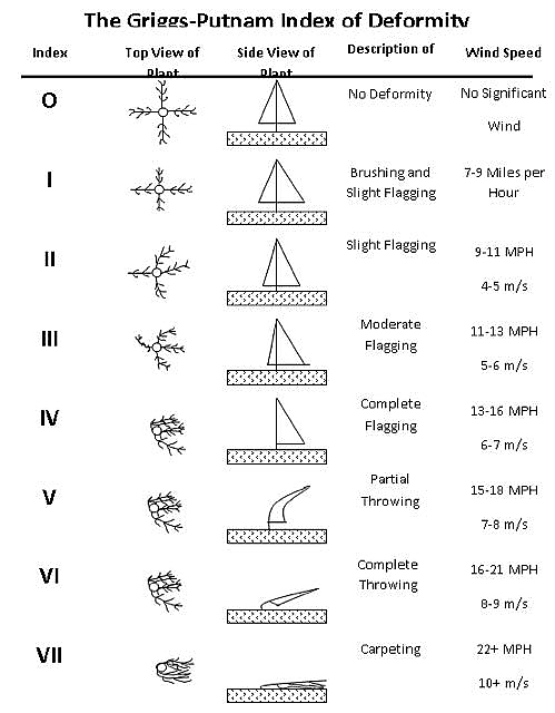
You can read more about using trees as a local climate indicator in this technical paper that summarizes the practice.
Here are a few photos of trees on our property. They show a dominant wind direction from the southwest with average speeds in the 9 to 13 mph range. Of course, we do get much higher wind speeds here, ranging up to or over 100 mph during a "wind event". The last photo is a bit of an anomaly.
